October 26, 2025
October 26, 2025
A little universe, just for you
Free PNG · 1080 × 1350 · No account needed
Image rights and credit requirements apply when sharing or reusing imagery.
Your celebration date stays the same. Each image keeps its actual publication date.
Selected image source ↗ APOD published October 26, 2025. Full image credits are on the original APOD entry below. A publication-date match, not a photo taken on your date. Independent of NASA.
Read the original APOD for the astronomer’s explanation and full image credits. Its text is preserved in the archive as published.
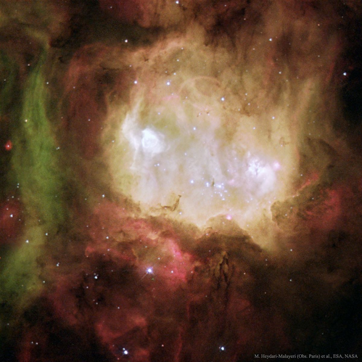
Halloween's origin is ancient and astronomical. Since the fifth century BC, Halloween has been celebrated as a cross-quarter day, a day halfway between an equinox (equal day / equal night) and a solstice (minimum day / maximum night in the northern hemisphere). With a modern calendar however, even though Halloween is later this week, the real cross-quarter day will occur the next week. Another cross-quarter day is Groundhog Day. Halloween's modern celebration retains historic roots in dressing to scare away the spirits of the dead. Perhaps a fitting tribute to this ancient holiday is this view of the Ghost Head Nebula taken with the Hubble Space Telescope. Similar to the icon of a fictional ghost, NGC 2080 is actually a star forming region in the Large Magellanic Cloud, a satellite galaxy of our own Milky Way Galaxy. The Ghost Head Nebula (NGC 2080) spans about 50 light-years and is shown in representative colors.
Updated · APOD entries through