May 28, 2026
May 28, 2026
A little universe, just for you
Free PNG · 1080 × 1350 · No account needed
Image rights and credit requirements apply when sharing or reusing imagery.
Your celebration date stays the same. Each image keeps its actual publication date.
Selected image source ↗ APOD published May 28, 2026. Full image credits are on the original APOD entry below. A publication-date match, not a photo taken on your date. Independent of NASA.
Read the original APOD for the astronomer’s explanation and full image credits. Its text is preserved in the archive as published.
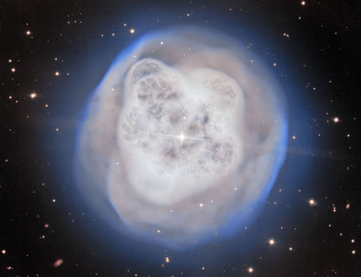
What do you see in this crystal ball? The featured image shows NGC 1514, known as the Crystal Ball Nebula, observed by the Gemini North telescope on Maunakea, in Hawai'i. NGC 1514 is 1,500 light-years away and was discovered by William Herschel in 1790. This planetary nebula is formed when a star becomes a red giant and ejects its outer gas layers. The ejected shell of gas is heated up by the core of the star to temperatures hotter than the surface of our Sun: that makes the gas shine, creating beautiful images like this one. The slightly asymmetrical shape of the Crystal Ball Nebula reveals a secret: the bright star in the center has a companion. As the two stars orbit each other with a period of about nine years, they shape the gas around them. In about 10,000 - 25,000 years the nebula will be dissipated by their stellar winds.
Updated · APOD entries through