May 21, 2026
May 21, 2026
A little universe, just for you
Free PNG · 1080 × 1350 · No account needed
Image rights and credit requirements apply when sharing or reusing imagery.
Your celebration date stays the same. Each image keeps its actual publication date.
Selected image source ↗ APOD published May 21, 2026. Full image credits are on the original APOD entry below. A publication-date match, not a photo taken on your date. Independent of NASA.
Read the original APOD for the astronomer’s explanation and full image credits. Its text is preserved in the archive as published.
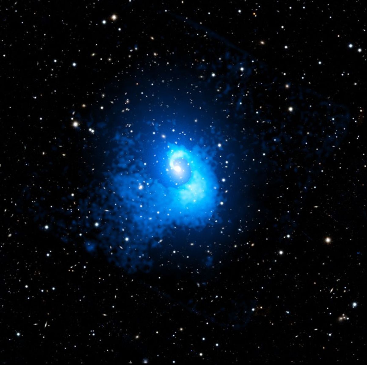
This big beautiful spiral shines in X-ray light. It is about 20 times larger than our Galaxy. It belongs to Abell 2029, a galaxy cluster one billion light-years away. (To see only the galaxies, hover your cursor over the image, or follow this link.) Galaxy clusters are the largest structures in the universe that are supported by gravity. Abell 2029 is formed by thousands of galaxies, surrounded by a huge cloud of hot gas and the equivalent of hundreds of trillions times the mass of the Sun in dark matter. The spiral is made of gas, mostly hydrogen and helium, heated to tens of millions of degrees. It was found in a recent study that used data from NASA's Chandra X-ray Observatory to show that Abell 2029 had a collision with a smaller cluster four billion years ago. The collision affected the gravitational field and caused the intracluster gas to slosh, like wine moving in a wine glass, shaping the spiral.
Updated · APOD entries through