March 2, 2026
March 2, 2026
A little universe, just for you
Free PNG · 1080 × 1350 · No account needed
Image rights and credit requirements apply when sharing or reusing imagery.
Your celebration date stays the same. Each image keeps its actual publication date.
Selected image source ↗ APOD published March 2, 2026. Credit: Ignacio Fernández. A publication-date match, not a photo taken on your date. Independent of NASA.
Behind the original result
Read the original APOD for the astronomer’s explanation and full image credits. Its text is preserved in the archive as published.
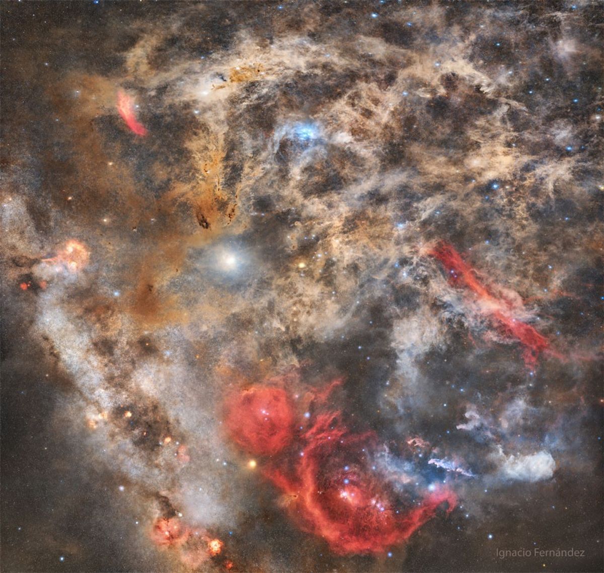
How well do you know the night sky? OK, but how well can you identify famous sky objects in a very deep image? Either way, here is a test: see if you can find some well-known night-sky icons in a deep image filled with filaments of normally faint dust and gas. This image contains the Pleiades star cluster, Barnard's Loop, Orion Nebula, Aldebaran, Betelgeuse, Witch Head Nebula, Eridanus Loop, and the California Nebula. To find their real locations, here is an annotated image version. The reason this task might be difficult is similar to the reason it is initially hard to identify familiar constellations in a very dark sky: the tapestry of our night sky has an extremely deep hidden complexity. The featured composite reveals some of this complexity in a 16 hours of sky exposure in dark skies over Granada, Spain. Tonight: Total Lunar Eclipse
Image credit: Ignacio Fernández
Updated · APOD entries through