June 7, 2026
June 7, 2026
A little universe, just for you
Free PNG · 1080 × 1350 · No account needed
Image rights and credit requirements apply when sharing or reusing imagery.
Your celebration date stays the same. Each image keeps its actual publication date.
Selected image source ↗ APOD published June 7, 2026. Credit: Marek Nikodem (PPSAE). A publication-date match, not a photo taken on your date. Independent of NASA.
Read the original APOD for the astronomer’s explanation and full image credits. Its text is preserved in the archive as published.
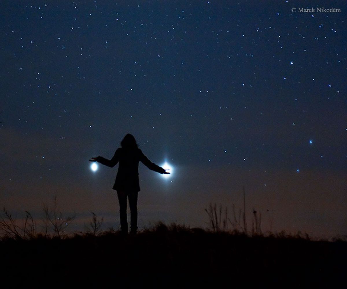
It was visible around the world. The sunset conjunction of Jupiter (left) and Venus (right) in 2012 was visible almost no matter where you lived on Earth. Anyone on our planet with a clear western horizon at sunset could see them. That year, a creative photographer traveled away from the town lights of Szubin, Poland to photograph a near closest approach of the two planets. The bright planets were then separated by only three degrees and his daughter struck a humorous pose. A faint red sunset still glowed in the background. Jupiter and Venus are together again this week after sunset, passing within a degree of each other about two days from today.
Image credit: Marek Nikodem (PPSAE)
Updated · APOD entries through