January 30, 2026
January 30, 2026
A little universe, just for you
Free PNG · 1080 × 1350 · No account needed
Image rights and credit requirements apply when sharing or reusing imagery.
Your celebration date stays the same. Each image keeps its actual publication date.
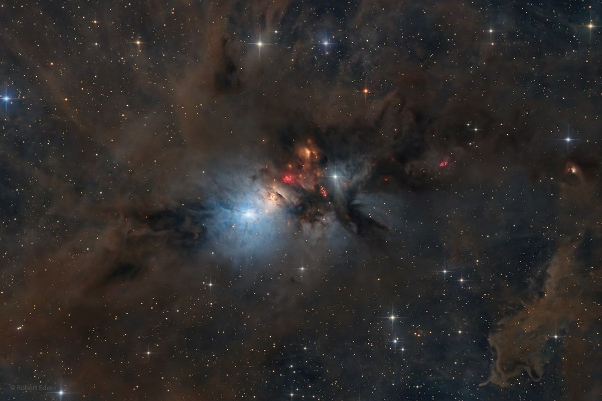
Selected image source ↗ APOD published January 30, 2026. Credit: Robert Eder. A publication-date match, not a photo taken on your date. Independent of NASA.
Read the original APOD for the astronomer’s explanation and full image credits. Its text is preserved in the archive as published.
NGC 1333 is seen in visible light as a reflection nebula, dominated by bluish hues characteristic of starlight reflected by interstellar dust. A mere 1,000 light-years distant toward the heroic constellation Perseus, it lies at the edge of a large, star-forming molecular cloud. This telescopic close-up spans over two full moons on the sky or just over 15 light-years at the estimated distance of NGC 1333. It shows details of the dusty region along with telltale hints of contrasty red emission from Herbig-Haro objects, jets and shocked glowing gas emanating from recently formed stars. In fact, NGC 1333 contains hundreds of stars less than a million years old, most still hidden from optical telescopes by the pervasive stardust. The chaotic environment may be similar to one in which our own Sun formed over 4.5 billion years ago.
Image credit: Robert Eder
Updated · APOD entries through